Up
noaa.gov
Vertical Datum Transformation
Integrating America's Elevation Data

On This Page

  Prerequisite

  Download Full Package

  Customizable Download

Download VDatum

Prerequisite: Java Runtime Environment (JRE)

*Running VDatum requires that Java Runtime Environment (JRE) 1.8.0 or newer version be installed on the user's computer. Since the big change from Oracle Java-11, please check JRE or JDK version and settings on your local environment before you run VDatum application.

The OpenJDK-11.0.2_Windows-x64 is bundled with this download package. Also you can modify settings to run VDatum application by using your local JRE or JDK

For more information about how to set up Java Home for VDatum app, click on this link
About Java Home

For OpenJDK release information, click on this link: 
https://jdk.java.net/archive/

For Oracle Java release information, click on this link: 
https://www.oracle.com/technetwork/java/index.html

Download the latest Full Package

Size (Mb)
Click to download vdatum_all_20230907.zip 3,065

Subscribe to VDatum Mailing List

Receiving announcements by email is the best way to stay in the loop. When you subscribe to our mailing list, you can receive regular updates about our products, download, offers, and other announcements.

Subscription to our mailing list is totally voluntary. You will never be charged. If you decide you no longer wish to receive emails, you can cancel your email subscription at any time.

Click to Subscribe


Customizable Download

Get the software and/or transformation grid dataset below:

I. Software (required)

Size (Mb)

vdatum_v4.6.1.zip -- supporting: 
  • Coordinate Systems transformation between Geographic, UTM, SPC and Geocentric;

  • Horizontal Datums transformation between NAD 27, NAD 83(1986) and NAD 83 (HARN);

  • Ellipsoidal Datums transformation between NAD83_2011, ITRFxx and WGS84;

  • Vertical Datums transformation between NGVD29 and NAVD88 (VERTCON), and between NAVD88 and NAD83 (EGM model is not included).

2,255

II. Dataset

Horizontal Datums Tranformation between: 

More information about NOAA/NGS's NADCON NAD27, NAD83 (1986) and HARN  1.88

Vertical Datums Transformation between: 

More information about NOAA/NGS's VERTCON NGVD29 and NAVD88  2.46
More information about NOAA/NGS's IGLD85 IGLD85 and NAVD88 1.56

NAD83 and NAVD88

More information about NOAA/NGS's GEOID12B GEOID12B  92.48
More information about NOAA/NGS's GEOID12A GEOID12A  92.48
More information about NOAA/NGS's GEOID09 GEOID09 48.8
More information about NOAA/NGS's GEOID06 GEOID06 (for Alaska only) 19.4
More information about NOAA/NGS's GEOID03 GEOID03 52.5
More information about NOAA/NGS's GEOID99 GEOID99 48.0
More information about NOAA/NGS's GEOID96 GEOID96 8.1

EGM

More information about NOAA/NGS's EGM2008 EGM2008 798.0
More information about NOAA/NGS's EGM1996 EGM1996 3.1
More information about NOAA/NGS's EGM1984 EGM1984 1.86

XGEOID

More information about NOAA/NGS's XGEOID16b XGEOID16b (BETA) 33.1
More information about NOAA/NGS's XGEOID17b XGEOID17b (BETA) 33.1
More information about NOAA/NGS's XGEOID18b XGEOID18b (BETA) 25.3
More information about NOAA/NGS's XGEOID19b XGEOID19b (BETA) 25.3

Tidal Datums:

vdatum_regional_20230907.zip [875 Mb]

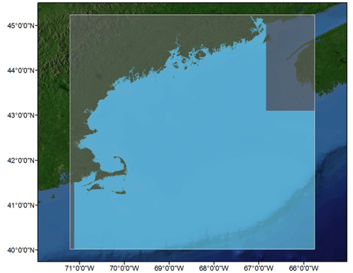
Download KML files Maine/New Hampshire/Massachusetts - Gulf of Maine, Version 2.3MENHMAgome23 58.1
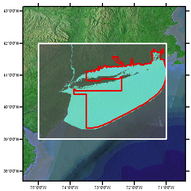
Download KML files New York/Connecticut/Rhode Island – Outer NY Bight, eastern Long Island Sound, Block Island Sound, Version 4.4RICTbis45 25.3
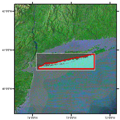
Download KML files New York - The Great South Bay, Version 3.4NYgr8bay34 15.3
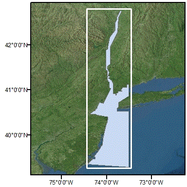
Download KML files New Jersey/New York/Connecticut – Northern NJ, NY Harbor, western Long Island Sound, Version 3.4NYNJhbr34 17.3
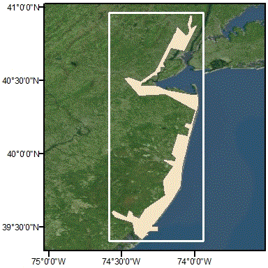
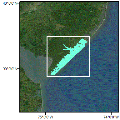
Download KML files New Jersey - coastal embayment - North, Version 1.2NJncstemb11
14.7
Download KML files New Jersey - coastal embayment - South, Version 3.2NJscstemb32
43.8
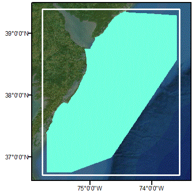
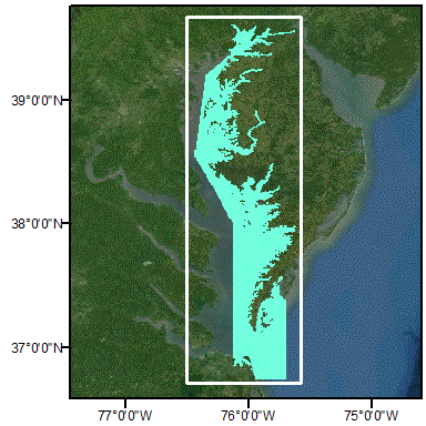
Download KML files Virginia/Maryland/Delaware/New Jersey - Mid-Atlantic Bight shelf, Version 3.3NJVAmab33 39.6
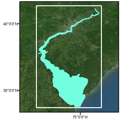
Download KML files Delaware - Delaware Bay, Version 3.3DEdelbay33 43.9
Download KML files Virginia/Maryland - East Chesapeake Bay, Version 1.1MDVAechb1.1
48.15
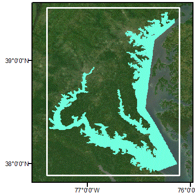
Download KML files Maryland - Northwest Chesapeake Bay, Version 1.1MDnwchb11_8301.1
45.72
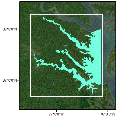
Download KML files Virginia - Southwest Chesapeake Bay, Version 1.1VAswchb11_8301.1
45.97
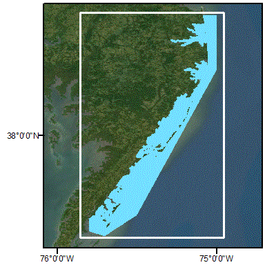
Download KML files Virginia/Maryland/Delaware - Coastal embayment, Version 2.3DEVAemb23 46.1
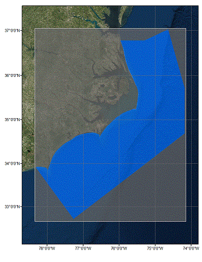
Download KML files North Carolina - Coastal shelf, Version 1.1NCcoast11 99.5
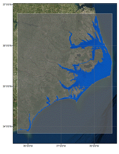
Download KML files North Carolina - Inland waterways and sounds, Version 1.1NCinner11 9.28
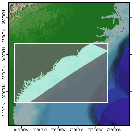
Download KML files Georgia/South Carolina/North Carolina - Sapelo Island GA to New River NC, Version 3.1GASCNCsab31 36.1
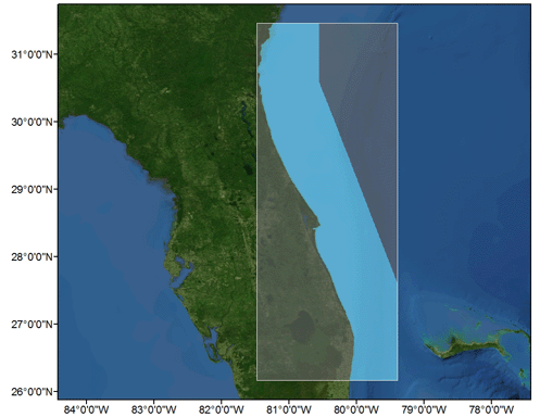
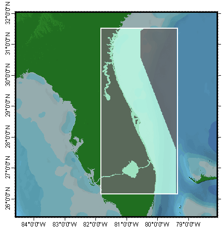
Download KML files Florida/Georgia - Shelf, Fort Lauderdale FL to Sapelo Island GA, Version 4.1FLGAeastshelf41 32.7
Download KML files Florida/Georgia - Coastal waterways, Fort Lauderdale FL to Sapelo Island GA, Version 3.1FLGAeastbays31 3.87
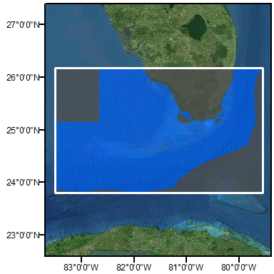
Download KML files Florida – South Florida, Naples to Fort Lauderdale FL, and Florida Bay, Version 02FLsouth12_8301 17.7
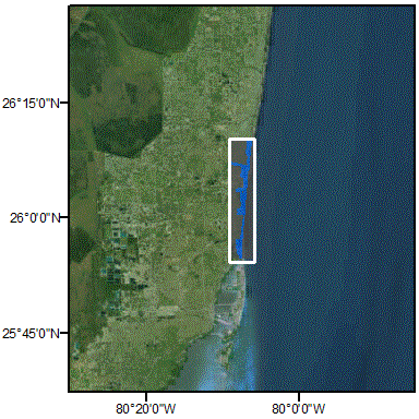
Download KML files Florida – South Florida Inland Waterways, Version 01FLsoicw01_8301 0.2
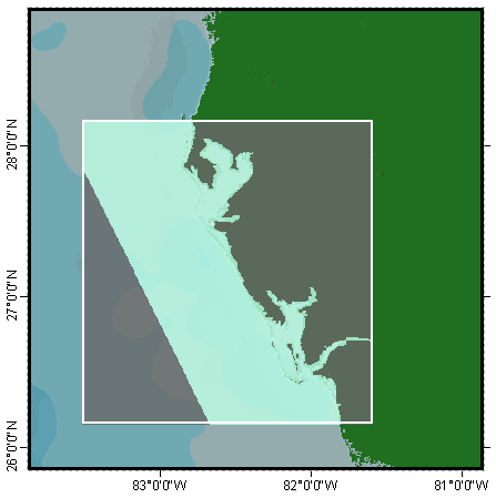
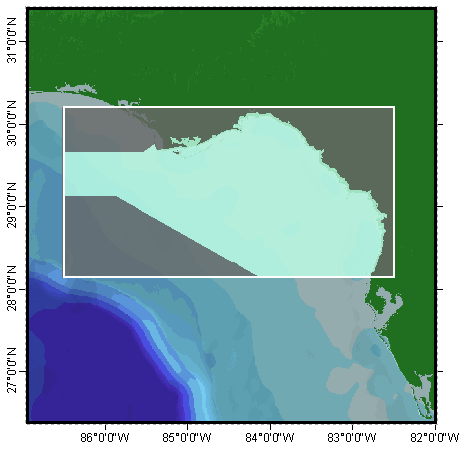
Download KML files Florida - Anclote Key to Naples, Version 01(TSS Revised: 22Aug2013)FLwest01 15.1
Download KML files Florida - Apalachicola to Anclote Key, Version 01FLapalach01 12
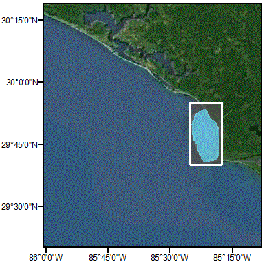
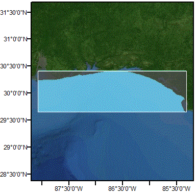
Download KML files Florida - St. Joseph Bay and the Gulf of Mexico, Version 03FLjoseph01 0.2
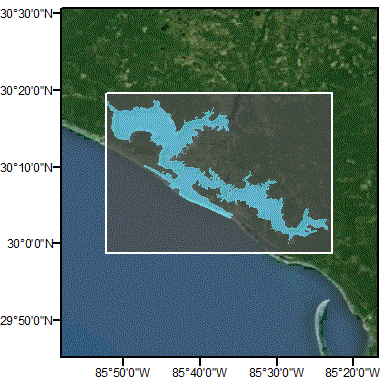
Download KML files Florida - St. Andrew Bay and the Gulf of Mexico, Version 02FLandrew01 0.36
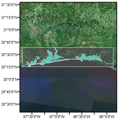
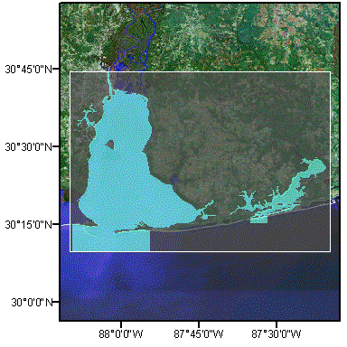
Download KML files Florida - Perdido, Pensacola and Choctawhatchee Bays, Version 02FLpensac01 0.84
Download KML files Florida/Alabama - Gulf of Mexico from Mobile Bay to east of Choctawhatchee Bay, Version 02ALFLgom02 4.83
Download KML files Alabama - Mobile Bay and Perdido Bay, Version 02ALmobile01 0.5
Download KML files Louisiana/Mississippi - Eastern Louisiana to Mississippi Sound, Version 02LAmobile01 29
Download KML files Louisiana/Texas - western Louisiana to Galveston Bay, Version 01LATXwest01 4.57
Download KML files Texas - Lagoons, Galveston Bay to Matagorda Island, Version 01TXlaggal01 3.04
Download KML files Texas - Shelf, Galveston Bay to Matagorda Island, Version 01TXshlgal01 4.32
Download KML files Texas - Lagoons, Matagorda Island to US/MX border, Version 01TXlagmat01 1.88
Download KML files Texas - Shelf, Matagorda Island to US/MX border, Version 01TXshlmat01 2.89
Download KML files Washington - Coastal, Version 01WAcoast00 0.92
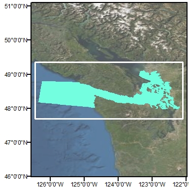
Download KML files Washington - Strait of Juan de Fuca Inland, Version 01WAjdfin00 2.24
Download KML files Washington - Strait of Juan de Fuca, Version 04WAjdfuca14 20.3
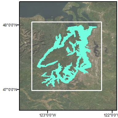
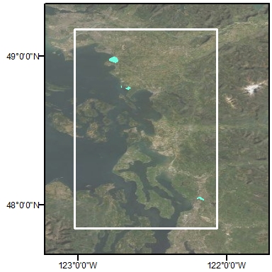
Download KML files Washington - Puget Sound, Version 03WApuget13 9.62
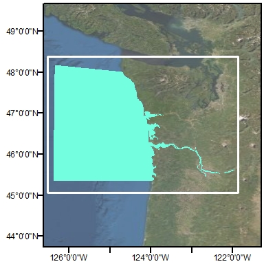
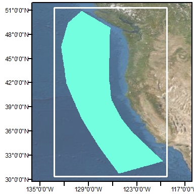
Download KML files Washington/Oregon/California - Offshore, Version 01WCoffsh00 9.6
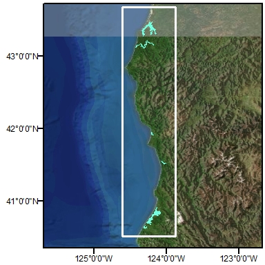
Download KML files Oregon - Coastal Inland, Version 03ORcoain00 21.6
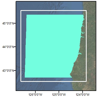
Download KML files Oregon - Coastal, Version 01ORcoast00 13.6
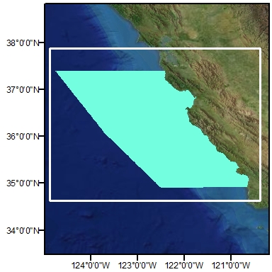
Download KML files California -Monterey Bay to Morro Bay, Version 03CAmontby13 21.9
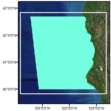
Download KML files California/Oregon - Coastal, Version 01CAoregon00 21.9
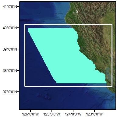
Download KML files California - San Francisco Bay Vicinity, Version 03CAsfbay13 21.9
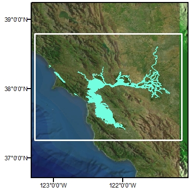
Download KML files California - San Francisco Bay Inland, Version 01CAsfdel00 21.9
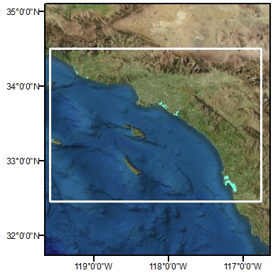
Download KML files California - Southern California Inland, Version 01CAsouin00 21.9
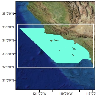
Download KML files California - Southern California, Version 01CAsouthn00 21.9
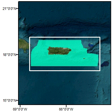
Download KML files Puerto Rico and U.S. Virgin Islands - Islands, Version 02PRVIis00
69.6
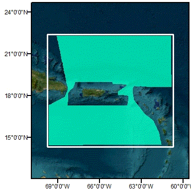
Download KML files Puerto Rico and U.S. Virgin Islands - Offshore, Version 02PRVIof00
7.1
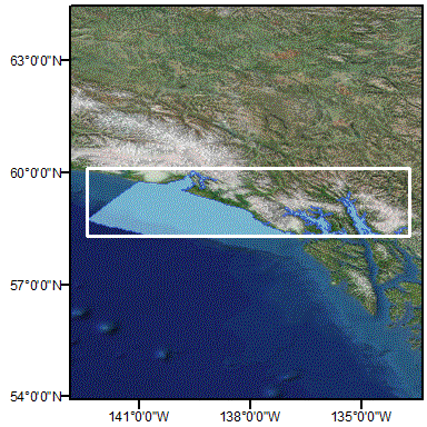
Download KML files Alaska - Southeast, Yakutat to Glacier Bay, Version 01AKyakutat00
71.2
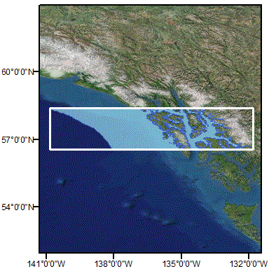
Download KML files Alaska - Southeast, Glacier Bay to Whale Bay, Version 01AKglacier00
97.1
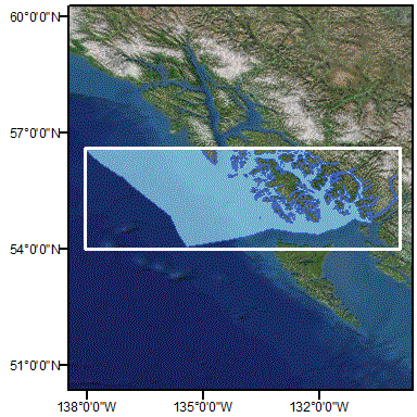
Download KML files Alaska - Southeast, Whale Bay to US/Canada Border, Version 01AKwhale00
48.8

River Datum

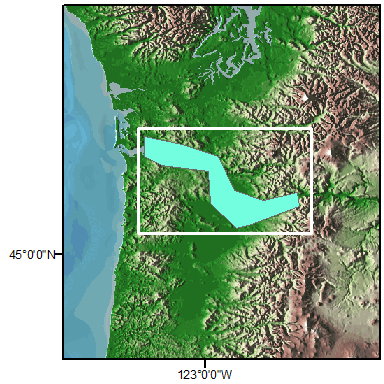
Download KML files Columbia River, Version 1.0CRD 6.7